More has changed in the last 20 years than in the preceding 200 years of cartographic practice in terms of the creation, storage, and use of geographical data. Mapping is now a dynamic, data-driven area where the same underlying dataset can be used for dozens of varying analytical purposes at once, rather than being primarily a paper-based science. In response to this change, platforms like UK Map Centre have made reliable spatial datasets available in the formats that contemporary workflows genuinely need.
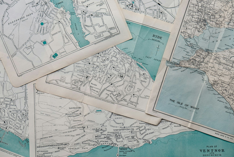
From Paper to Digital Datasets
There was more to the shift from printed maps to digital spatial data than just a format change. The definition and capabilities of a map were fundamentally reorganised. A printed map is a static depiction of the world at a specific scale and moment in time. A digital dataset is an organised collection of geographic objects that can be searched, filtered, and visualised in ways that a printed sheet cannot. Each geographic item has its own attributes, relationships, and update history.
This change allowed mapping to be used for previously unfeasible purposes. Finding every building built after a specific date, finding every watercourse inside a specified boundary, and comparing utility infrastructure to planned growth footprints were no longer tedious manual activities but rather regular analytical tasks.
The Role of GIS in Modern Spatial Analysis
Geographic Information Systems introduced database technology’s analytical capabilities to spatial data. From a single workspace, a GIS platform enables users to layer several datasets, carry out geographical searches, compute areas and distances, and provide outputs suited to certain analytical requirements.
Spatial analysis is now a routine part of planning and decision-making processes that formerly relied on human map interpretation, thanks to the widespread use of GIS in local government, utilities, environmental organisations, and the construction industry. Planning authorities and regulators now demand higher standards of proof in submissions and evaluations due to the accuracy and consistency of GIS-based analysis.
CAD Integration and Its Significance
A major source of friction from site-based work has been eliminated for engineers, architects, and surveyors thanks to the integration of mapping data with computer-aided design environments. Design work starts from a validated spatial foundation rather than a hand-traced approximation when an accurate base map is imported straight into a CAD program.
In this case, the base data’s correctness is crucial. CAD design is accurate to fractions of a millimetre, and using a base map with positional inaccuracies or scale distortions jeopardises the integrity of everything constructed on it. Professional design work requires a solid foundation, which is provided by authoritative datasets obtained from rigorous survey programs.
Real-Time Data and Dynamic Mapping
Mapping now has a temporal component that static datasets cannot offer, thanks to the availability of real-time and near-real-time spatial data. Mapping platforms that update continuously instead of annually or quarterly can incorporate traffic flows, environmental sensor readings, infrastructure incident reports, and aerial photos taken after major weather occurrences.
This temporal reactivity changes the role that mapping can play in infrastructure management, environmental monitoring, and emergency preparation. Conditions as they truly exist can now be used to drive decisions that were previously based on data that was months or years old.
Open Data and Its Limitations
Access to mapping resources has significantly increased since large amounts of government-held spatial data were made available as open datasets. Spatial analysis capabilities can now be built on publicly available foundations by organisations that were previously unable to justify the expense of licensed datasets.

Open data’s limitations include resolution and currency. In contrast to the detailed labour required for engineering design, legal boundary defining, and infrastructure planning, open datasets are usually generalised to a size suitable for general analysis. Licensed datasets from ongoing survey programs remain the best option for these applications.
What the Next Phase of Digital Mapping Looks Like
The three-dimensionality of spatial data is growing. Two-dimensional mapping is unable to capture the intricate three-dimensional representations of the built and natural environment produced by lidar surveys, photogrammetric modelling, and building information modelling. The difference between a map and a model of reality will continue to get smaller as these datasets and the tools for working with them become more publicly available.
Organisations that have already acquired the analytical skills to handle intricate spatial datasets and the workflows to integrate mapping into their primary decision-making processes stand to gain the most from this progression.